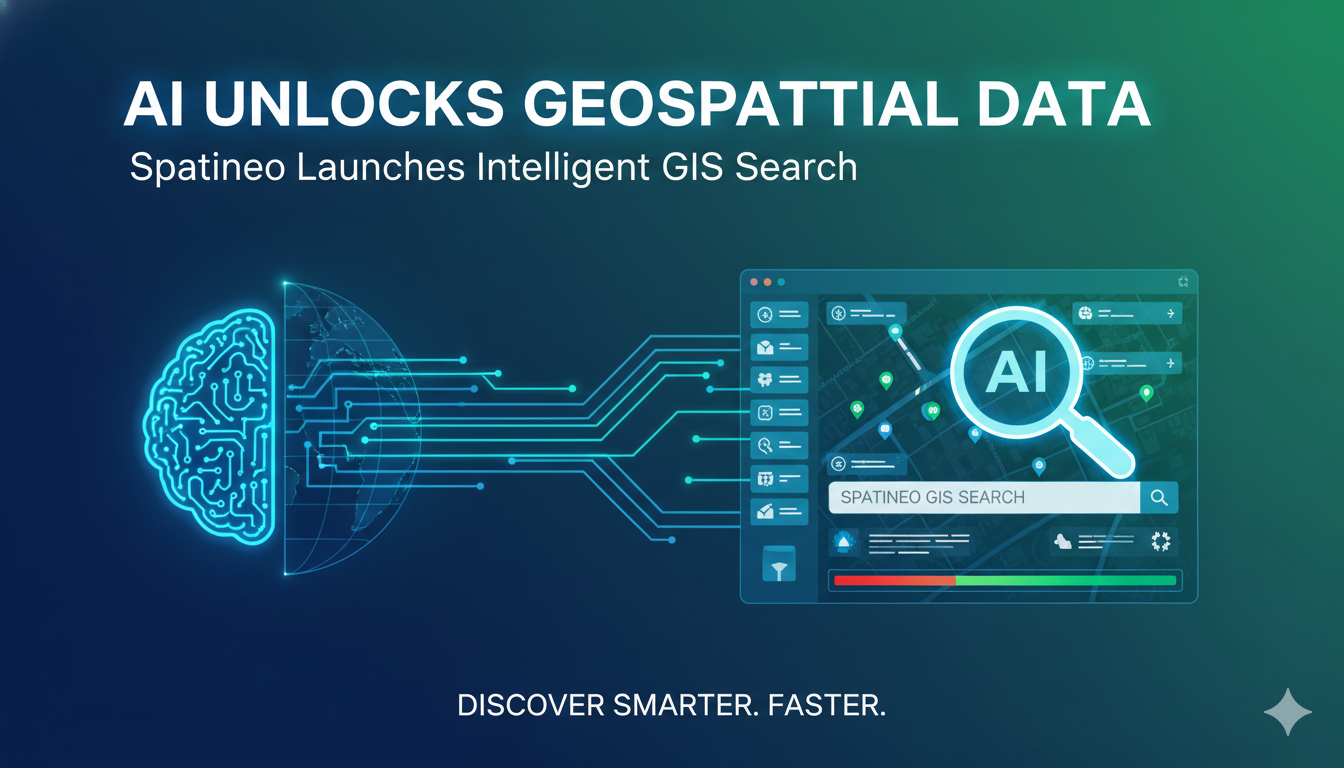
“Spatineo has introduced Spatineo Discovery®, an innovative AI-driven search solution that enables GIS professionals to locate and integrate relevant geospatial datasets using natural language queries directly inside ArcGIS Pro. Built on the company’s 15 years of expertise in geospatial infrastructure, the tool tackles the longstanding challenge of scattered data across portals, reducing hours of manual searching to seconds and accelerating analysis in fields from urban planning to environmental monitoring.”
Revolutionizing Data Discovery in the Geospatial Sector
The geospatial industry has experienced explosive growth in data availability, driven by advancements in satellite imagery, drone technology, IoT sensors, and open government data initiatives. Yet this abundance has created a significant paradox: professionals often struggle more with finding the right data than with analyzing it. Traditional discovery methods rely on keyword searches across fragmented catalogs, metadata portals, and disparate web services, leading to inefficiency, missed opportunities, and frustration.
Spatineo Discovery® changes this dynamic fundamentally. The tool embeds directly into Esri’s ArcGIS Pro environment, allowing users to bypass separate browsers or portals. Instead of crafting precise keyword strings or navigating multiple interfaces, analysts can input plain-language descriptions of their needs. Examples include queries like “Find flood risk layers for the Mekong Delta,” “Show soil moisture data for Midwest corn belt counties,” or “Locate recent high-resolution imagery over wildfire zones in California.” The system interprets intent using advanced generative AI combined with geospatial semantic understanding, delivering contextually relevant results quickly.
At its core, the solution employs a hybrid search engine that merges natural language processing with spatial awareness. It evaluates not just text descriptions but also geometry, temporal coverage, resolution, update frequency, and service reliability. This ensures recommendations prioritize high-quality, trustworthy sources over outdated or incomplete ones. Once a dataset matches the query, users can preview metadata, assess fitness-for-use, and add it directly to their ArcGIS project as a layer—eliminating copy-paste errors or format conversion hassles.
The launch follows extensive beta testing involving over 130 organizations spanning government agencies, research institutions, environmental consultancies, and enterprise users. Feedback highlighted dramatic time savings: many reported cutting data hunting phases from hours or days down to minutes. This efficiency gain proves especially valuable in time-sensitive scenarios such as disaster response, where rapid access to current flood extents, evacuation routes, or damage assessments can influence outcomes.
Spatineo’s approach builds on its deep roots in geospatial web services and infrastructure. The company has long focused on making spatial data more accessible and usable through monitoring, harvesting, and analytics tools. Spatineo Discovery® represents the next evolution, incorporating modern AI to address discoverability at the point of use. By partnering closely with Esri, the integration feels native—leveraging ArcGIS Pro’s familiar interface while extending its capabilities with intelligent search.
Key benefits for GIS workflows include:
Task-oriented search : Move beyond metadata keywords to intent-based discovery, capturing nuanced requirements that traditional systems miss.
Seamless integration : No need to export, download, or reproject data manually; layers connect directly within the active map project.
Quality filtering : AI assesses service health, compliance with standards like OGC, and relevance metrics to surface dependable sources.
Time compression : Shift focus from data hunting to analysis, modeling, and decision-making.
Scalability : Handles growing volumes of distributed data from public catalogs, commercial providers, and internal repositories.
For organizations managing spatial data infrastructures (SDIs), the tool complements existing catalogs by providing an end-user-friendly front end. It reduces dependency on centralized portals that often suffer from incomplete indexing or slow updates. In enterprise settings, it promotes consistency in data sourcing across teams, minimizing duplication of effort and version conflicts.
The geospatial sector increasingly demands tools that keep pace with data velocity and variety. With satellite constellations producing petabytes daily and edge devices contributing real-time feeds, manual discovery becomes untenable. AI-powered solutions like Spatineo Discovery® represent a shift toward proactive, intelligent assistance that augments human expertise rather than replacing it.
As adoption grows, expect broader implications for industries reliant on location intelligence—urban development accelerating with faster access to zoning and infrastructure layers, climate studies benefiting from quicker ensemble of environmental datasets, and commercial applications in insurance or logistics gaining agility in risk modeling.
This launch marks a meaningful step in democratizing high-quality geospatial data, ensuring professionals spend less time searching and more time solving real-world problems.
Disclaimer: This is a news report based on industry developments and does not constitute financial, investment, or professional advice.


Leave a Reply